Starting in the summer semester 2025, the lecture will no longer be organised by the FSR, but by the Remote Sensing and Image Analysis Department (Dept. 13: Civil and Environmental Engineering). However, it can still be chosen and credited for students of all subject areas.
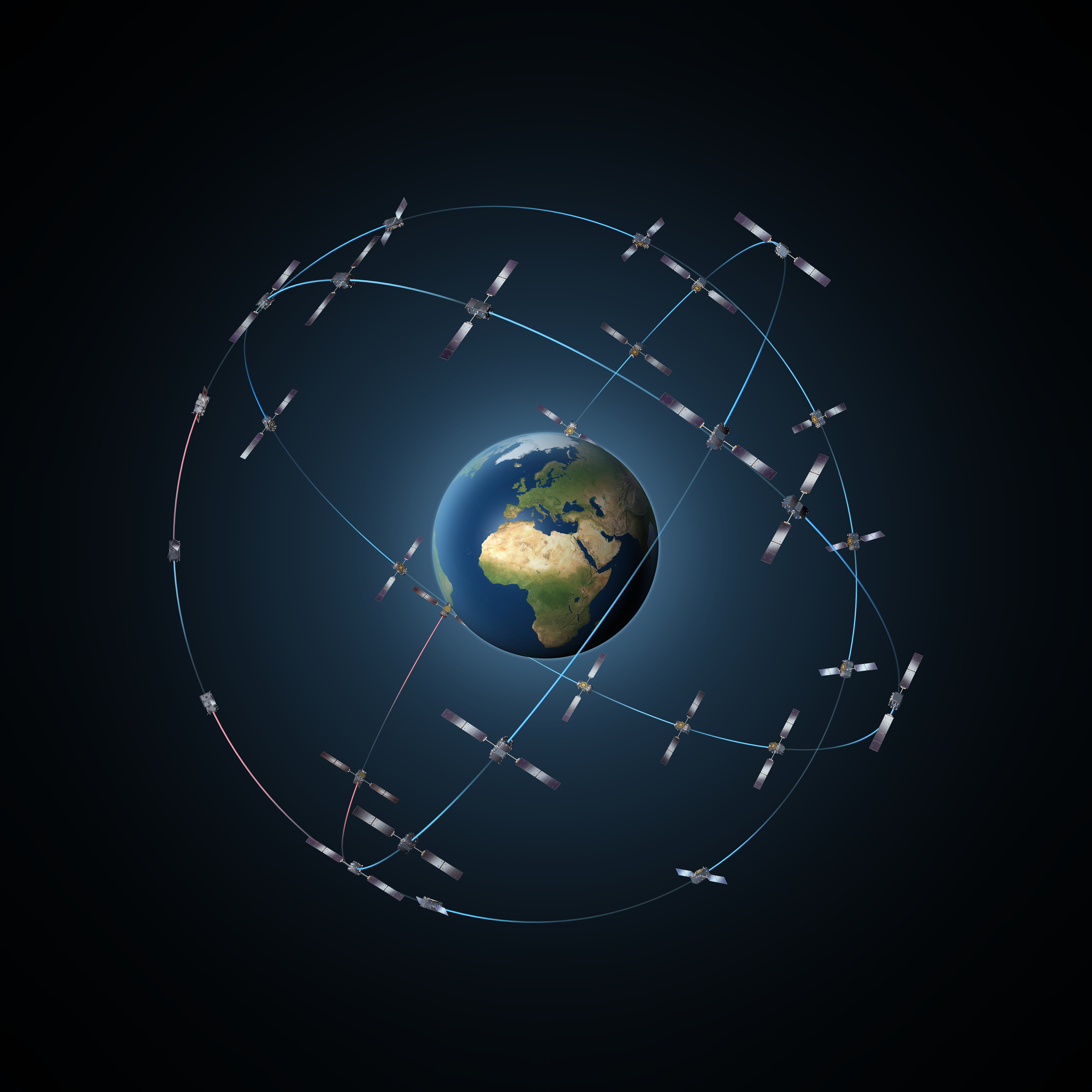
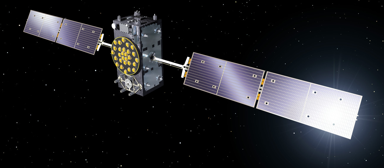
Modern satellite navigation systems enable navigation on the ground, at sea and in the air through high-precision positioning. With the European Geostationary Navigation Overlay Service (EGNOS) and Galileo, high-performance European navigation systems have been established in recent years, enabling increased position accuracy as well as ensuring data integrity.
The lecture Global Navigation Satellite System and Orbit Determination deals with selected topics on precise applications of Global Navigation Satellite Systems (GNSS) using the European Navigation Systems EGNOS and Galileo as examples. For this purpose, the structure and components of GNSS are explained and application areas are defined. With the help of basic equations of satellite navigation, orbit determination and modelling, the performance and contributions of GNSS are analysed. The relations between localisation requirements, navigation, and the geoscience disciplines are demonstrated and the methods learned are applied in post-processing and analysis software.